Enscape has a feature that allows you to geolocate your model and it imports monochrome blocks representing all nearby structures, it’s quite basic but it helps with accurate shadows. Also, this type of thing will definitely improve rapidly and I suspect it will be able to import google’s 3D textured buildings soon and that would be great for creating a quick background that isn’t the primary focus of the project.
Enscapes site context feature is terrible and highly inaccurate outside of big cities like New York. Enscapes data come from openstreetmaps specifically because it’s open source. Google bars people from using their data for legal uses such as this feature. That’s not to say in the future they won’t change but even if they do the cost is likely to be very expensive and based on the number of users of the buying program not the number of people who use the feature within said program. Don’t expect Enscape to switch anytime soon and D5 to add this either.
What is it that UE uses? I’ve seen them create huge city scapes but that software would be pretty pointless for me doing garden designs.
If it’s just topo, its probably world creator. If it looks like google maps there are ways to get Google data into the program, its just goes against Googles terms of service so the native programmers of UE, Enscape, D5 can’t implement features that use Googles data.
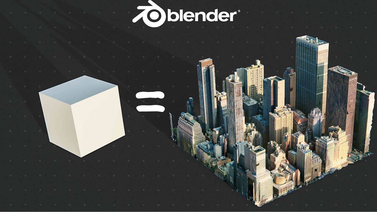
Hi guys, just want to add that currently I have been able to get site context from google earth with textures by using Blender with Blosm addon. I export the 3D site data from blender to D5a, however, the export or the import to D5 changes the mesh / polygons of the volumes and surfaces to worse. Everything looks less clean and more broken or distorted, which is really unfortunate. It is still kinda ok if your context is far away. But not good for immediate context or even an “intermediate distance”. Hopefully this can be improved?
If it really is only a matter of improving the way D5 converts the data from blender or other programs, then maybe is not too difficult to implement in the near / mid future? Let’s see.
Hi @alexbardet.arc,
i want to import the 3D context from Blender create with the Blosm application, but in my case in D5 Render does not import the texture, insert only the building and surfaces colored in white. Do you have any tipp.
Best regards.
Hi there @s.hofer ,
Sorry for my late reply, the answer to your problem is in this video, around minute 6.20:
Kind regards,
