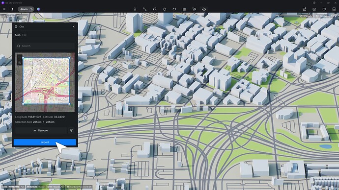
I would love to have an option to mark an area on OpenStreetMap and to then import all of the buildings (in cube form with editable heights) and terrain heights from the selected area to add context to the model surroundings.
Something similar to what Lumion or Twinmotion have with their OSM tool. Would help a lot especially when working with and rendering large urban areas with lots of surrounding buildings.
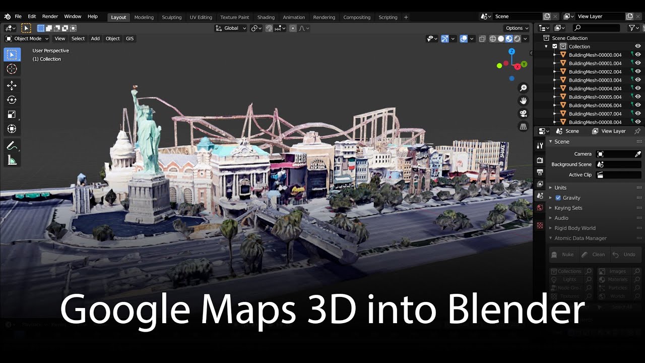
this would be nice. but maybe also with google maps 3d data.
i did try this with blender but got really shitty 3d buildings
Also maybe Google maps 3D. The only problem is that not many smaller cities and countryside areas have 3D feature in Google maps.
My workflow unfortunately does not include Blender or Sketchup. I did try once to make surrounding area using Dynamo in Revit but it is tedious and time consuming. It would be nice to have this feature in D5 done with just a few clicks.
Hi,
take a look there:
Option to put model in real location would be really great, similar to Lumion’s Open street map support. We used this feature a lot before and miss it in D5
“Starting from the fact that even the import does not detect basic topography from Google Maps, if you raise a coastal street, you will not see the sea, or one could even fill it with a model.”

