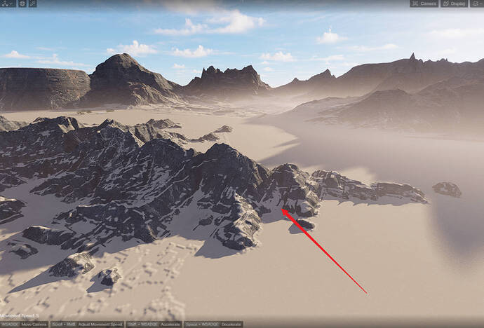
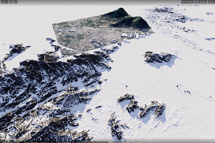
The new terrain features (and sculpting) are fantastic. But for real projects, custom terrains (and terrain modifications) are needed.
Therefore it should be possible to import real terrains into the software and then use the Terrain tools on them.
Not all data is in Google. Often data comes from Drone surveys of the terrain. That needs to be imported.
Thanks for your suggestions, @erik , and thanks for sharing, @NgTrung ![]() , I find it very useful.
, I find it very useful.
By the way, I’d like to ask what format of custom terrain objects you usually use, or what software do you use to create them? @erik
Hello @erik, Have nice day !
There are many ways to get real terrain.
Previously, D5 did not have a terrain tool, I often used Blender and plugins to use, then exported to D5 to render. This has the advantage of being able to display buildings as boxes in reality. But the disadvantage is that the texture maps are not high, blurred and noisy, the terrain is not beautiful, …
Now D5 has its own terrain tool. Just get the height map and load it into D5 and you’re done. This will reduce the volume a bit because it does not need to go through 3rd party software. High quality texture, …
Depending on the volume, different methods will be used. And currently I am using both.

